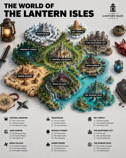
Two variables, country and city, produce a striking tilt-shift image: a relief map seen from above, with a miniature diorama of the city emerging at its real position. The prompt's best decision is to treat it as macro photography (fine textures, depth of field, soft studio shadows), which makes the map feel like a physical object on a table. With Japan and Kyoto, our result shows a pagoda, a wooden stage temple, a torii gate and a red bridge rising from the map, with Osaka, Nagoya and Tokyo labelled nearby. Distances are compressed and the coastline is stylised, so present it as art rather than cartography. It is great for travel content and city guides.
How to adapt it
Variable
What it changes
Examples
[COUNTRY]
the country shown on the map
Japan, Italy, Peru
[CITY]
the city that rises as a diorama
Kyoto, Florence, Cusco
iconic architecture… cultural elements
what fills the diorama
temples and cherry trees, domes and terracotta roofs
Tips
Cities with distinctive skylines or architecture produce the most recognisable dioramas.
Expect approximate geography; don't use the map for navigation or factual claims.
Try 4:5 to give the diorama more height above the map.